North Road, Wick
Introduction
The photograph on this page of North Road, Wick by David Dixon as part of the Geograph project.
The Geograph project started in 2005 with the aim of publishing, organising and preserving representative images for every square kilometre of Great Britain, Ireland and the Isle of Man.

There are currently over 7.5m images from over 14,400 individuals and you can help contribute to the project by visiting https://www.geograph.org.uk
North Road, Wick
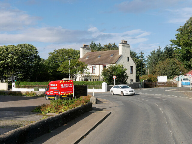
Image: © David Dixon Taken: 26 Sep 2021
Wick is the principal town in the far north of the Scottish mainland. There is evidence of a settlement around Wick from the Norse pagan period. The name Wick appears to be from a Norse word, vík, meaning bay. The settlement at Wick belonged to Norway, as did all of Caithness, until the reign of William the Lion (1165–1214). The town is on the main road (the A99 – A9 route) linking John o' Groats with southern Britain.
Images are licensed for reuse under creativecommons.org/licenses/by-sa/2.0
Image Location
Latitude
58.448456
Longitude
-3.09476