Crossroads at Barrock End Cottages
Introduction
The photograph on this page of Crossroads at Barrock End Cottages by Roger Templeman as part of the Geograph project.
The Geograph project started in 2005 with the aim of publishing, organising and preserving representative images for every square kilometre of Great Britain, Ireland and the Isle of Man.

There are currently over 7.5m images from over 14,400 individuals and you can help contribute to the project by visiting https://www.geograph.org.uk
Crossroads at Barrock End Cottages
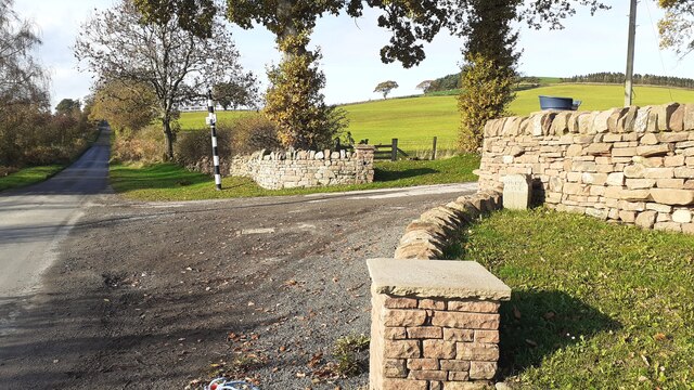
Image: © Roger Templeman Taken: 10 Nov 2021
There is an old boundary stone Image against the boundary wall of the cottages, and a Cumberland County Council signpost Image at the far side of the crossroads
Images are licensed for reuse under creativecommons.org/licenses/by-sa/2.0
Image Location
Latitude
54.813094
Longitude
-2.821389