Albert Place, Cheltenham
Introduction
The photograph on this page of Albert Place, Cheltenham by Stephen Richards as part of the Geograph project.
The Geograph project started in 2005 with the aim of publishing, organising and preserving representative images for every square kilometre of Great Britain, Ireland and the Isle of Man.

There are currently over 7.5m images from over 14,400 individuals and you can help contribute to the project by visiting https://www.geograph.org.uk
Albert Place, Cheltenham
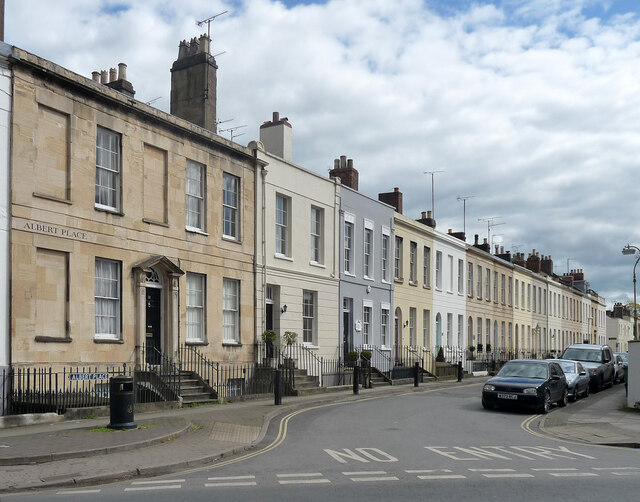
Image: © Stephen Richards Taken: 20 May 2015
Built c1827, intended as the east side of the failed development of Portland Square. Mostly three-bay houses except for the five-bay no. 2 (Image]). Grade II listed.
Images are licensed for reuse under creativecommons.org/licenses/by-sa/2.0
Image Location
Latitude
51.90426
Longitude
-2.067832