CODE Coventry
Introduction
The photograph on this page of CODE Coventry by Ian Capper as part of the Geograph project.
The Geograph project started in 2005 with the aim of publishing, organising and preserving representative images for every square kilometre of Great Britain, Ireland and the Isle of Man.

There are currently over 7.5m images from over 14,400 individuals and you can help contribute to the project by visiting https://www.geograph.org.uk
CODE Coventry
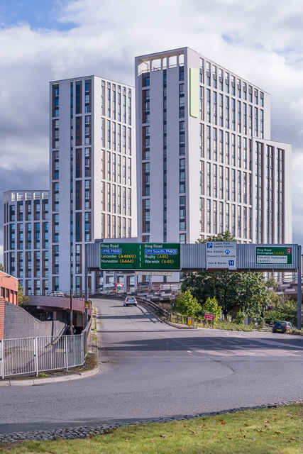
Image: © Ian Capper Taken: 24 Sep 2021
A student accommodation development completed in 2019, seen above Ringway Swanswell, part of the Coventry ring road.
Images are licensed for reuse under creativecommons.org/licenses/by-sa/2.0
Image Location
Latitude
52.410125
Longitude
-1.504595