Village road junction
Introduction
The photograph on this page of Village road junction by Bill Harrison as part of the Geograph project.
The Geograph project started in 2005 with the aim of publishing, organising and preserving representative images for every square kilometre of Great Britain, Ireland and the Isle of Man.

There are currently over 7.5m images from over 14,400 individuals and you can help contribute to the project by visiting https://www.geograph.org.uk
Village road junction
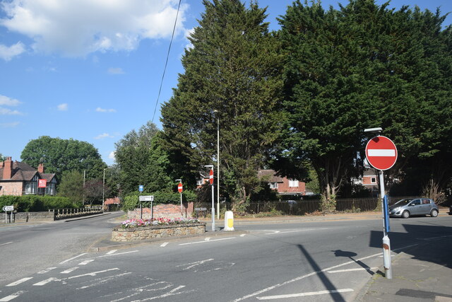
Image: © Bill Harrison Taken: 19 Jul 2021
The A488 bifurcates into a one-way system here and merges back into one the other side of the church. There are plenty of no entry signs and road markings to keep traffic on the right road.
Images are licensed for reuse under creativecommons.org/licenses/by-sa/2.0
Image Location
Latitude
52.650084
Longitude
-2.891419