Access to NCN492 near Cwm Ffrwd-oer
Introduction
The photograph on this page of Access to NCN492 near Cwm Ffrwd-oer by David Smith as part of the Geograph project.
The Geograph project started in 2005 with the aim of publishing, organising and preserving representative images for every square kilometre of Great Britain, Ireland and the Isle of Man.

There are currently over 7.5m images from over 14,400 individuals and you can help contribute to the project by visiting https://www.geograph.org.uk
Access to NCN492 near Cwm Ffrwd-oer
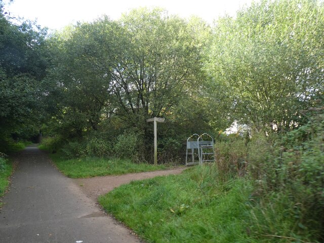
Image: © David Smith Taken: 26 Sep 2021
The metal barrier on the right is designed to prevent motorcycles from accessing the cycle track. They also hamper cyclists with unusual bicycles. NCN492 runs along a former railway line
Images are licensed for reuse under creativecommons.org/licenses/by-sa/2.0
Image Location
Latitude
51.707225
Longitude
-3.064808