Path to Hutton Court
Introduction
The photograph on this page of Path to Hutton Court by Neil Owen as part of the Geograph project.
The Geograph project started in 2005 with the aim of publishing, organising and preserving representative images for every square kilometre of Great Britain, Ireland and the Isle of Man.

There are currently over 7.5m images from over 14,400 individuals and you can help contribute to the project by visiting https://www.geograph.org.uk
Path to Hutton Court
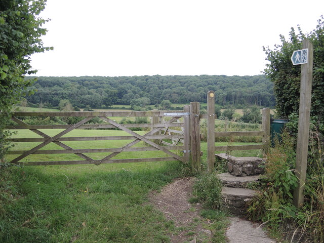
Image: © Neil Owen Taken: 3 Jul 2021
Running across Hutton Hill and on through to the church grounds.
Images are licensed for reuse under creativecommons.org/licenses/by-sa/2.0
Image Location
Latitude
51.324909
Longitude
-2.925614