Spon End
Introduction
The photograph on this page of Spon End by Stephen McKay as part of the Geograph project.
The Geograph project started in 2005 with the aim of publishing, organising and preserving representative images for every square kilometre of Great Britain, Ireland and the Isle of Man.

There are currently over 7.5m images from over 14,400 individuals and you can help contribute to the project by visiting https://www.geograph.org.uk
Spon End
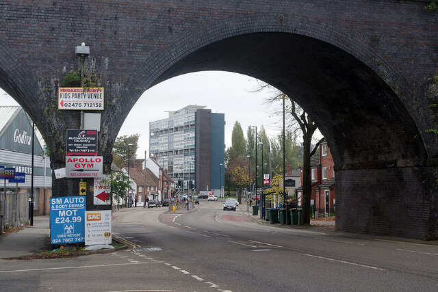
Image: © Stephen McKay Taken: 5 Nov 2021
Spon End is a stretch of the B4101 to the west of Coventry city centre. Spon End viaduct carries the Coventry to Nuneaton railway and was originally built of locally quarried stone between 1848 and 1849. Unfortunately, 23 of the 28 arches collapsed in 1857 and the viaduct had to be rebuilt using blue brick. Through the arches Spon Gate House can be seen.
Images are licensed for reuse under creativecommons.org/licenses/by-sa/2.0
Image Location


Leaflet Map data © OpenStreetMap
Latitude
52.408422
Longitude
-1.527929