Development land, High Street
Introduction
The photograph on this page of Development land, High Street by John Baker as part of the Geograph project.
The Geograph project started in 2005 with the aim of publishing, organising and preserving representative images for every square kilometre of Great Britain, Ireland and the Isle of Man.

There are currently over 7.5m images from over 14,400 individuals and you can help contribute to the project by visiting https://www.geograph.org.uk
Development land, High Street
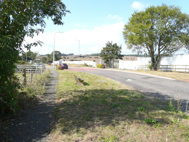
Image: © John Baker Taken: 16 Sep 2021
Planning permission has been granted by Swale Borough Council under application number 19/500887/FULL for the “erection of 15 dwellings with associated parking and new road access”. The application mentions that, at present, the land is used for paddocks with stables; these are visible in this view of the Image
Images are licensed for reuse under creativecommons.org/licenses/by-sa/2.0
Image Location
Latitude
51.407397
Longitude
0.853433