Pilning Low Level railway station (site), Gloucestershire
Introduction
The photograph on this page of Pilning Low Level railway station (site), Gloucestershire by Nigel Thompson as part of the Geograph project.
The Geograph project started in 2005 with the aim of publishing, organising and preserving representative images for every square kilometre of Great Britain, Ireland and the Isle of Man.

There are currently over 7.5m images from over 14,400 individuals and you can help contribute to the project by visiting https://www.geograph.org.uk
Pilning Low Level railway station (site), Gloucestershire
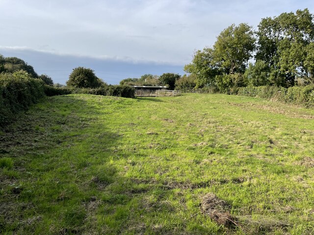
Image: © Nigel Thompson Taken: 9 Oct 2021
Opened as "Pilning" in 1863 by the Bristol & South Wales Union Railway, later part of the Great Western Railway, on the line from Bristol to New Passage Pier (for ferry connections across the River Severn to Portskewett). This station closed in 1886 at the same time as the Severn railway tunnel opened. However, it reopened (as "Pilning Low Level", to differentiate it from Image) in 1928 when a new rail connection was built to Severn Beach. It finally closed in 1964. View north west towards Cross Hands, New Passage and Severn Beach. The camera is positioned looking along the former track-bed, the single platform was to the right and sidings were to the left.
Images are licensed for reuse under creativecommons.org/licenses/by-sa/2.0
Image Location


Leaflet Map data © OpenStreetMap
Latitude
51.556545
Longitude
-2.625235