Riverside Path at Ordsall
Introduction
The photograph on this page of Riverside Path at Ordsall by David Dixon as part of the Geograph project.
The Geograph project started in 2005 with the aim of publishing, organising and preserving representative images for every square kilometre of Great Britain, Ireland and the Isle of Man.

There are currently over 7.5m images from over 14,400 individuals and you can help contribute to the project by visiting https://www.geograph.org.uk
Riverside Path at Ordsall
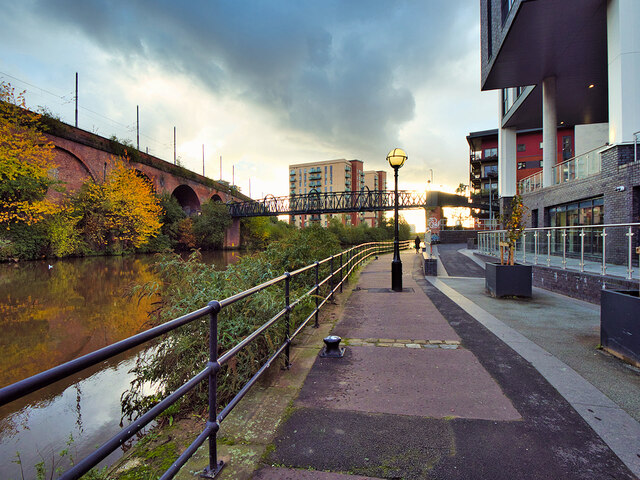
Image: © David Dixon Taken: 2 Nov 2021
The footpath follows the Salford bank of the Irwell (and then the Manchester Ship Canal) allowing one to walk between (close to) the city centre and Salford Quays. The nineteenth century Woden Street footbridge can be seen ahead.
Images are licensed for reuse under creativecommons.org/licenses/by-sa/2.0
Image Location
Latitude
53.472947
Longitude
-2.265266