River Irwell at St George's
Introduction
The photograph on this page of River Irwell at St George's by David Dixon as part of the Geograph project.
The Geograph project started in 2005 with the aim of publishing, organising and preserving representative images for every square kilometre of Great Britain, Ireland and the Isle of Man.

There are currently over 7.5m images from over 14,400 individuals and you can help contribute to the project by visiting https://www.geograph.org.uk
River Irwell at St George's
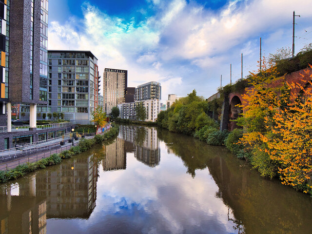
Image: © David Dixon Taken: 2 Nov 2021
Looking upstream (towards the city centre) from Woden Street Footbridge. The Irwell is the traditional boundary between the cities of Salford (on the left) and Manchester (on the right). Behind the railway viaduct on the right-hand side is the Bridgewater Canal and the area known as "St George's Island" (or just "St George's").
Images are licensed for reuse under creativecommons.org/licenses/by-sa/2.0
Image Location
Latitude
53.473218
Longitude
-2.264514