Watergate
Introduction
The photograph on this page of Watergate by Derek Harper as part of the Geograph project.
The Geograph project started in 2005 with the aim of publishing, organising and preserving representative images for every square kilometre of Great Britain, Ireland and the Isle of Man.

There are currently over 7.5m images from over 14,400 individuals and you can help contribute to the project by visiting https://www.geograph.org.uk
Watergate
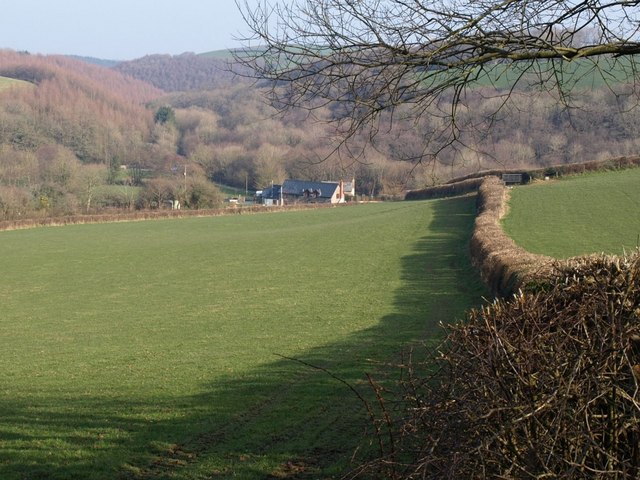
Image: © Derek Harper Taken: 16 Feb 2008
From the green lane above Gortlage, this view looks across a converted barn and Priestacott Mill to the valley junction of Langtree Lake (left, heading through a narrow wooded valley downstream from Watergate Bridge) and the valley to the right which carries the Tarka Trail upstream.
Images are licensed for reuse under creativecommons.org/licenses/by-sa/2.0
Image Location
Latitude
50.934744
Longitude
-4.181641