Old Boundary Marker on Busbridge Lane, Godalming
Introduction
The photograph on this page of Old Boundary Marker on Busbridge Lane, Godalming by J Hills as part of the Geograph project.
The Geograph project started in 2005 with the aim of publishing, organising and preserving representative images for every square kilometre of Great Britain, Ireland and the Isle of Man.

There are currently over 7.5m images from over 14,400 individuals and you can help contribute to the project by visiting https://www.geograph.org.uk
Old Boundary Marker on Busbridge Lane, Godalming
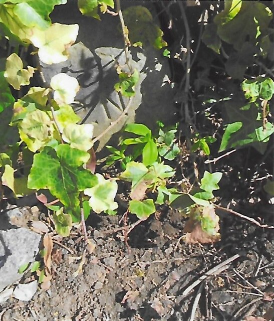
Image: © J Hills Taken: 27 Mar 2021
Estate Boundary Marker on the east side of Busbridge Lane under vegetation on the south side of the drive of No 123 Wychwood. Godalming parish. Inscribed B for Busbridge Hall on its north face and P.N.G. for Percy North Graham on its front face. Percy North Graham and his family occupied Busbridge Hall from 1906 to 1921. See https://www.andrewsgen.com/photo/godalming/busbridge_hall02.htm. Milestone Society National ID: SY_GOD03em
Images are licensed for reuse under creativecommons.org/licenses/by-sa/2.0
Image Location
Latitude
51.176405
Longitude
-0.608165