Canley Road, Canley
Introduction
The photograph on this page of Canley Road, Canley by Stephen McKay as part of the Geograph project.
The Geograph project started in 2005 with the aim of publishing, organising and preserving representative images for every square kilometre of Great Britain, Ireland and the Isle of Man.

There are currently over 7.5m images from over 14,400 individuals and you can help contribute to the project by visiting https://www.geograph.org.uk
Canley Road, Canley
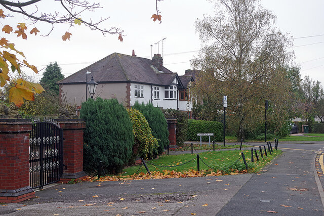
Image: © Stephen McKay Taken: 5 Nov 2021
This is a leafy part of the Coventry suburb of Canley with a selection of mostly substantial semi-detached houses. Canley Road connects Canley station with Fletchamstead Highway. In this view Lynbrook Road leads off to the left.
Images are licensed for reuse under creativecommons.org/licenses/by-sa/2.0
Image Location
Latitude
52.39798
Longitude
-1.547441