Overgrown open access land to the north of Porthcawl
Introduction
The photograph on this page of Overgrown open access land to the north of Porthcawl by eswales as part of the Geograph project.
The Geograph project started in 2005 with the aim of publishing, organising and preserving representative images for every square kilometre of Great Britain, Ireland and the Isle of Man.

There are currently over 7.5m images from over 14,400 individuals and you can help contribute to the project by visiting https://www.geograph.org.uk
Overgrown open access land to the north of Porthcawl
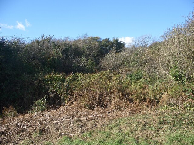
Image: © eswales Taken: 4 Nov 2021
There’s not much opportunity to exercise the right to roam in this area of open access land by Mount Pleasant Road where nature seems to have been given the chance to thrive.
Images are licensed for reuse under creativecommons.org/licenses/by-sa/2.0
Image Location
Latitude
51.501582
Longitude
-3.692356