A play area, Packington
Introduction
The photograph on this page of A play area, Packington by Oliver Mills as part of the Geograph project.
The Geograph project started in 2005 with the aim of publishing, organising and preserving representative images for every square kilometre of Great Britain, Ireland and the Isle of Man.

There are currently over 7.5m images from over 14,400 individuals and you can help contribute to the project by visiting https://www.geograph.org.uk
A play area, Packington
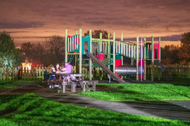
Image: © Oliver Mills Taken: 5 Nov 2021
The recreation ground off Vicarage Lane. Taken during a bonfire and fireworks event on this ground. The source of the unusual illumination is from the nearby barbeque tent.
Images are licensed for reuse under creativecommons.org/licenses/by-sa/2.0
Image Location


Leaflet Map data © OpenStreetMap
Latitude
52.726697
Longitude
-1.471492