Watch house, Dunlichity Cemetery
Introduction
The photograph on this page of Watch house, Dunlichity Cemetery by Craig Wallace as part of the Geograph project.
The Geograph project started in 2005 with the aim of publishing, organising and preserving representative images for every square kilometre of Great Britain, Ireland and the Isle of Man.

There are currently over 7.5m images from over 14,400 individuals and you can help contribute to the project by visiting https://www.geograph.org.uk
Watch house, Dunlichity Cemetery
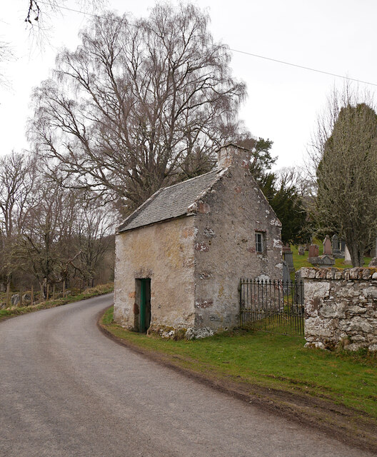
Image: © Craig Wallace Taken: 19 Apr 2021
A small watch house dating from the early 19th century, next to the minor road. It is a Category B listed building, along with the church and burial ground. https://portal.historicenvironment.scot/designation/LB1704
Images are licensed for reuse under creativecommons.org/licenses/by-sa/2.0
Image Location


Leaflet Map data © OpenStreetMap
Latitude
57.367134
Longitude
-4.230137