Croft House and farm buildings at High Wreay on SE side of road
Introduction
The photograph on this page of Croft House and farm buildings at High Wreay on SE side of road by Roger Templeman as part of the Geograph project.
The Geograph project started in 2005 with the aim of publishing, organising and preserving representative images for every square kilometre of Great Britain, Ireland and the Isle of Man.

There are currently over 7.5m images from over 14,400 individuals and you can help contribute to the project by visiting https://www.geograph.org.uk
Croft House and farm buildings at High Wreay on SE side of road
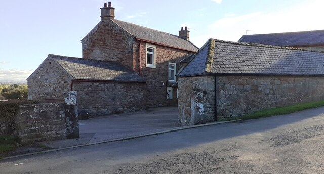
Image: © Roger Templeman Taken: 4 Nov 2021
Ordnance Survey documents describe a benchmark on a farm building here which was levelled at 105.813m above Newlyn Datum verified 1970. I think the mark is gone
Images are licensed for reuse under creativecommons.org/licenses/by-sa/2.0
Image Location
Latitude
54.827767
Longitude
-2.881928