Clay Lake
Introduction
The photograph on this page of Clay Lake by Sean Davis as part of the Geograph project.
The Geograph project started in 2005 with the aim of publishing, organising and preserving representative images for every square kilometre of Great Britain, Ireland and the Isle of Man.

There are currently over 7.5m images from over 14,400 individuals and you can help contribute to the project by visiting https://www.geograph.org.uk
Clay Lake
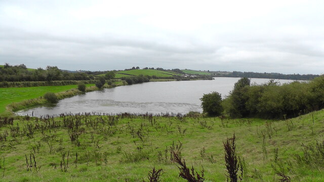
Image: © Sean Davis Taken: 29 Aug 2021
Southern end of Clay Lake from narrow road between Castleblayney Road and Clay Road. This is on the route of the Keady Hills, Lakes, Rivers and Mills Walk. See https://sites.google.com/view/keadywalk/home
Images are licensed for reuse under creativecommons.org/licenses/by-sa/2.0
Image Location
Latitude
54.224784
Longitude
-6.72565