The Flat at Crossroads House
Introduction
The photograph on this page of The Flat at Crossroads House by Roger Templeman as part of the Geograph project.
The Geograph project started in 2005 with the aim of publishing, organising and preserving representative images for every square kilometre of Great Britain, Ireland and the Isle of Man.

There are currently over 7.5m images from over 14,400 individuals and you can help contribute to the project by visiting https://www.geograph.org.uk
The Flat at Crossroads House
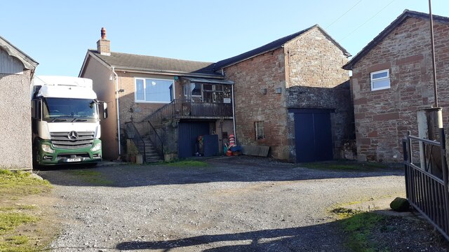
Image: © Roger Templeman Taken: 4 Nov 2021
There is an Ordnance Survey flush bracket Image set into the corner, left hand face, of the building right of The Flat
Images are licensed for reuse under creativecommons.org/licenses/by-sa/2.0
Image Location
Latitude
54.85085
Longitude
-2.895982