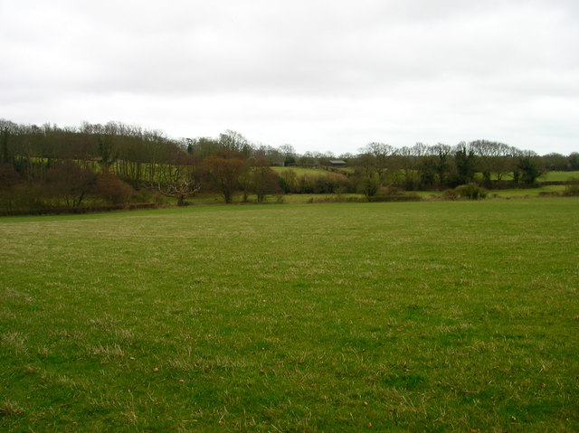
Fields near Holmes Farm
Introduction
The photograph on this page of Fields near Holmes Farm by Simon Carey as part of the Geograph project.
The Geograph project started in 2005 with the aim of publishing, organising and preserving representative images for every square kilometre of Great Britain, Ireland and the Isle of Man.
There are currently over 7.5m images from over 14,400 individuals and you can help contribute to the project by visiting https://www.geograph.org.uk

Image: © Simon Carey Taken: 22 Feb 2008
Looking down the hill from the farm towards a small valley formed by East Stream which provides the administrative boundary of Wealden and Rother district councils. The stream has been a boundary of some sort since Saxon times being mentioned in a charter of 772 as the outlying border of a manor based near the modern town of Bexhill.

