Looking up School Hill, Sproxton
Introduction
The photograph on this page of Looking up School Hill, Sproxton by Kate Jewell as part of the Geograph project.
The Geograph project started in 2005 with the aim of publishing, organising and preserving representative images for every square kilometre of Great Britain, Ireland and the Isle of Man.

There are currently over 7.5m images from over 14,400 individuals and you can help contribute to the project by visiting https://www.geograph.org.uk
Looking up School Hill, Sproxton
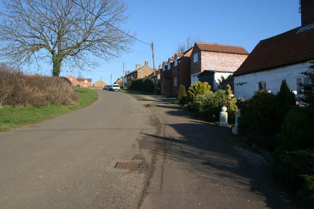
Image: © Kate Jewell Taken: 17 Feb 2008
This was the edge of the village and the majority of the cottages and houses on the south east side of the road are 19th century or older. At the upper end of School Hill they have an uninterrupted view of the church which sits on the hill that dominates the village to the north, see Image
Images are licensed for reuse under creativecommons.org/licenses/by-sa/2.0
Image Location


Leaflet Map data © OpenStreetMap
Latitude
52.81096
Longitude
-0.728513