Glanrhyd
Introduction
The photograph on this page of Glanrhyd by Colin Prosser as part of the Geograph project.
The Geograph project started in 2005 with the aim of publishing, organising and preserving representative images for every square kilometre of Great Britain, Ireland and the Isle of Man.

There are currently over 7.5m images from over 14,400 individuals and you can help contribute to the project by visiting https://www.geograph.org.uk
Glanrhyd
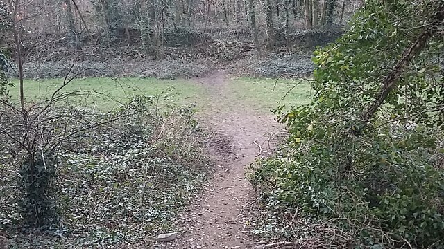
Image: © Colin Prosser Taken: 7 Mar 2021
Glanrhyd, the footpath alongside the river Ogmore, and footpath which leads into the lanes
Images are licensed for reuse under creativecommons.org/licenses/by-sa/2.0
Image Location
Latitude
51.529676
Longitude
-3.586713