Chepstow Shipyard
Introduction
The photograph on this page of Chepstow Shipyard by Peter Randall-Cook as part of the Geograph project.
The Geograph project started in 2005 with the aim of publishing, organising and preserving representative images for every square kilometre of Great Britain, Ireland and the Isle of Man.

There are currently over 7.5m images from over 14,400 individuals and you can help contribute to the project by visiting https://www.geograph.org.uk
Chepstow Shipyard
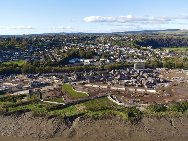
Image: © Peter Randall-Cook Taken: 4 Nov 2021
New build of 347 dwellings on the old shipyard, Buffers Wharf. The large building at the right of centre was a steam powered flour mill in 1851.
Images are licensed for reuse under creativecommons.org/licenses/by-sa/2.0
Image Location
Latitude
51.639203
Longitude
-2.66929