The northeastern side of Revell's Rough
Introduction
The photograph on this page of The northeastern side of Revell's Rough by Richard Law as part of the Geograph project.
The Geograph project started in 2005 with the aim of publishing, organising and preserving representative images for every square kilometre of Great Britain, Ireland and the Isle of Man.

There are currently over 7.5m images from over 14,400 individuals and you can help contribute to the project by visiting https://www.geograph.org.uk
The northeastern side of Revell's Rough
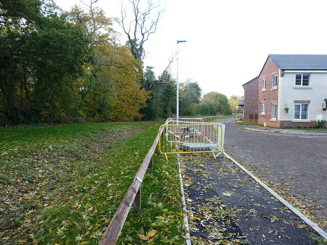
Image: © Richard Law Taken: 3 Nov 2021
The wood here was marked as "Rebels Rough" on the 1882 map; it had become "Revell's Rough" by the time the next edition was released in 1901, and that's the name which persists to this day. It was spared the chainsaws when the houses were built on the surrounding fields a few years ago.
Images are licensed for reuse under creativecommons.org/licenses/by-sa/2.0
Image Location
Latitude
52.660965
Longitude
-2.365587