Former railway path, Wetherby
Introduction
The photograph on this page of Former railway path, Wetherby by Malc McDonald as part of the Geograph project.
The Geograph project started in 2005 with the aim of publishing, organising and preserving representative images for every square kilometre of Great Britain, Ireland and the Isle of Man.

There are currently over 7.5m images from over 14,400 individuals and you can help contribute to the project by visiting https://www.geograph.org.uk
Former railway path, Wetherby
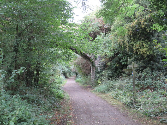
Image: © Malc McDonald Taken: 14 Oct 2021
A path along the route of a dismantled railway in Wetherby, in West Yorkshire. The railway closed in 1964. The path is shared by walkers and cyclists, and forms part of route 67 of the National Cycle Network.
Images are licensed for reuse under creativecommons.org/licenses/by-sa/2.0
Image Location
Latitude
53.935119
Longitude
-1.389634