Old Boundary Marker beside the A44 on Stonebow Bridge
Introduction
The photograph on this page of Old Boundary Marker beside the A44 on Stonebow Bridge by Roadside Relics as part of the Geograph project.
The Geograph project started in 2005 with the aim of publishing, organising and preserving representative images for every square kilometre of Great Britain, Ireland and the Isle of Man.

There are currently over 7.5m images from over 14,400 individuals and you can help contribute to the project by visiting https://www.geograph.org.uk
Old Boundary Marker beside the A44 on Stonebow Bridge
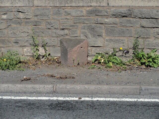
Image: © Roadside Relics Taken: 26 Aug 2021
Parish Boundary Marker against the parapet of Stonebow Bridge on the northeast side of the A44. On the boundary of Peopleton and Stoulton parishes. Milestone Society National ID: WO_PEOSTO01pb
Images are licensed for reuse under creativecommons.org/licenses/by-sa/2.0
Image Location


Leaflet Map data © OpenStreetMap
Latitude
52.1443
Longitude
-2.096474