Former Auchtertool Warehouse
Introduction
The photograph on this page of Former Auchtertool Warehouse by Becky Williamson as part of the Geograph project.
The Geograph project started in 2005 with the aim of publishing, organising and preserving representative images for every square kilometre of Great Britain, Ireland and the Isle of Man.

There are currently over 7.5m images from over 14,400 individuals and you can help contribute to the project by visiting https://www.geograph.org.uk
Former Auchtertool Warehouse
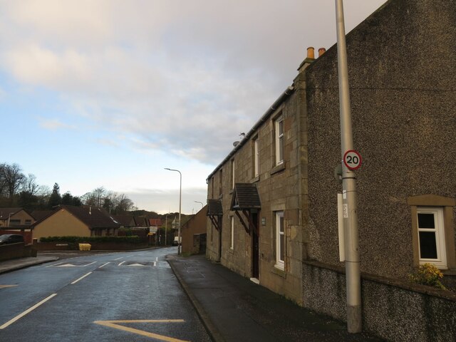
Image: © Becky Williamson Taken: 4 Jan 2021
There is an Ordnance Survey benchmark on this building, visible on stone level with bottom of window between window and lamppost. See Image
Images are licensed for reuse under creativecommons.org/licenses/by-sa/2.0
Image Location
Latitude
56.103069
Longitude
-3.261357