West Walls
Introduction
The photograph on this page of West Walls by Gerald England as part of the Geograph project.
The Geograph project started in 2005 with the aim of publishing, organising and preserving representative images for every square kilometre of Great Britain, Ireland and the Isle of Man.

There are currently over 7.5m images from over 14,400 individuals and you can help contribute to the project by visiting https://www.geograph.org.uk
West Walls
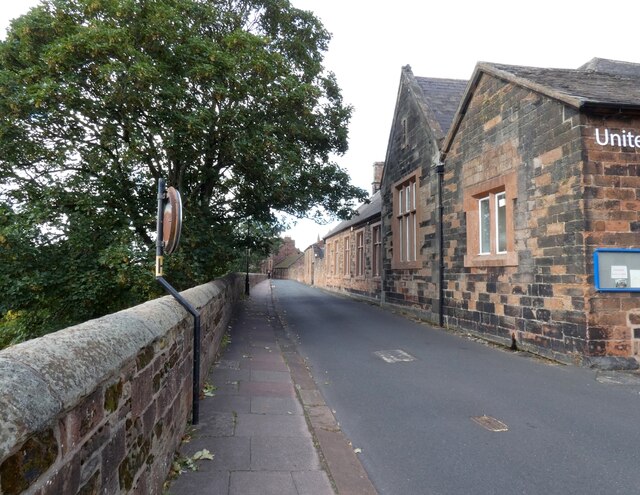
Image: © Gerald England Taken: 11 Sep 2021
The building on the right is the Grade II listed https://historicengland.org.uk/listing/the-list/list-entry/1218930 former Grammar School, now St George's United Reformed Church Image
Images are licensed for reuse under creativecommons.org/licenses/by-sa/2.0
Image Location
Latitude
54.893573
Longitude
-2.938716