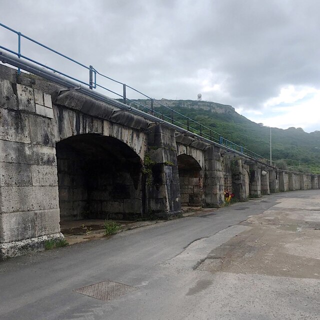
Inner Breakwater, Portland Harbour
Introduction
The photograph on this page of Inner Breakwater, Portland Harbour by Katherine Stott as part of the Geograph project.
The Geograph project started in 2005 with the aim of publishing, organising and preserving representative images for every square kilometre of Great Britain, Ireland and the Isle of Man.
There are currently over 7.5m images from over 14,400 individuals and you can help contribute to the project by visiting https://www.geograph.org.uk

Image: © Katherine Stott Taken: 22 Jun 2021
The Inner and Outer Breakwaters were constructed between 1849 and 1872 to create a strategic Harbour of Refuge for use by the Royal Navy and merchant ships. Much more information can be found at https://www.portlandhistory.co.uk/portland-harbour.html The photo shows the scale and architectural style of the structure facing the harbour. The photographer had been given authorised access to temporary works. On the skyline is The Verne citadel, built as a siege fortress in the same period.

