The B4270
Introduction
The photograph on this page of The B4270 by HelenK as part of the Geograph project.
The Geograph project started in 2005 with the aim of publishing, organising and preserving representative images for every square kilometre of Great Britain, Ireland and the Isle of Man.

There are currently over 7.5m images from over 14,400 individuals and you can help contribute to the project by visiting https://www.geograph.org.uk
The B4270
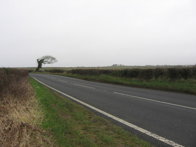
Image: © HelenK Taken: 22 Feb 2008
Otherwise known as Llantwit Major Road. This area is very open, as can be seen from the windswept tree.
Images are licensed for reuse under creativecommons.org/licenses/by-sa/2.0
Image Location


Leaflet Map data © OpenStreetMap
Latitude
51.424215
Longitude
-3.489421