Plantation Drive, The Lyppards, worcester
Introduction
The photograph on this page of Plantation Drive, The Lyppards, worcester by Chris Allen as part of the Geograph project.
The Geograph project started in 2005 with the aim of publishing, organising and preserving representative images for every square kilometre of Great Britain, Ireland and the Isle of Man.

There are currently over 7.5m images from over 14,400 individuals and you can help contribute to the project by visiting https://www.geograph.org.uk
Plantation Drive, The Lyppards, worcester
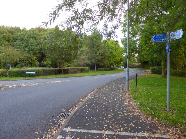
Image: © Chris Allen Taken: 25 Oct 2021
A road in Warndon Villages through part of a large development with several subdivisions all prefixed with Lyppard. The Orbital Pedway crosses the road here.
Images are licensed for reuse under creativecommons.org/licenses/by-sa/2.0
Image Location
Latitude
52.205689
Longitude
-2.178773