Solva Harbour
Introduction
The photograph on this page of Solva Harbour by Colin Smith as part of the Geograph project.
The Geograph project started in 2005 with the aim of publishing, organising and preserving representative images for every square kilometre of Great Britain, Ireland and the Isle of Man.

There are currently over 7.5m images from over 14,400 individuals and you can help contribute to the project by visiting https://www.geograph.org.uk
Solva Harbour
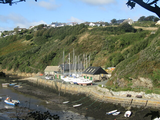
Image: © Colin Smith Taken: 5 Oct 2021
The steep sided Solva Valley is an historic meltwater valley created by torrents of water from retreating icesheets from the last ice age. The flooded valley is now a sheltered tidal harbour. www.visitpembrokeshire.com
Images are licensed for reuse under creativecommons.org/licenses/by-sa/2.0
Image Location
Latitude
51.872224
Longitude
-5.19449