Blocked culvert
Introduction
The photograph on this page of Blocked culvert by David Lally as part of the Geograph project.
The Geograph project started in 2005 with the aim of publishing, organising and preserving representative images for every square kilometre of Great Britain, Ireland and the Isle of Man.

There are currently over 7.5m images from over 14,400 individuals and you can help contribute to the project by visiting https://www.geograph.org.uk
Blocked culvert
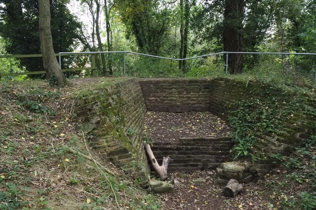
Image: © David Lally Taken: 27 Oct 2021
At the southern end of the Papplewick Trail, this excavated culvert entrance presumably would have carried the mill races under Moor Road?
Images are licensed for reuse under creativecommons.org/licenses/by-sa/2.0
Image Location
Latitude
53.047966
Longitude
-1.182952