A circular walk via Sharp Haw and Flasby [35]
Introduction
The photograph on this page of A circular walk via Sharp Haw and Flasby [35] by Michael Dibb as part of the Geograph project.
The Geograph project started in 2005 with the aim of publishing, organising and preserving representative images for every square kilometre of Great Britain, Ireland and the Isle of Man.

There are currently over 7.5m images from over 14,400 individuals and you can help contribute to the project by visiting https://www.geograph.org.uk
A circular walk via Sharp Haw and Flasby [35]
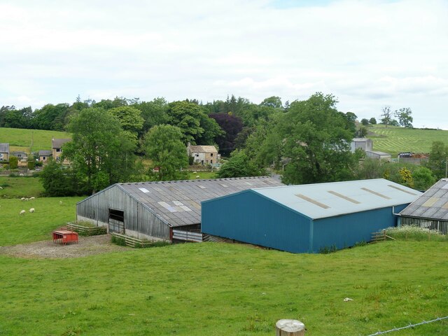
Image: © Michael Dibb Taken: 18 Jun 2021
The building of Flasby Hall Farm, seen from the track, a public footpath. Starting from the wonderfully named Bog Lane, near Tarn House, the walk follows the long distance Dales High Way. The route ascends to Sharp Haw then on via Flasby Fell to the village of Flasby. The return is mostly through woodland – High Wood and Crag Side Wood. About 5¾ miles.
Images are licensed for reuse under creativecommons.org/licenses/by-sa/2.0
Image Location
Latitude
54.004857
Longitude
-2.081589