Flush Bracket OSBM S3056: Manby
Introduction
The photograph on this page of Flush Bracket OSBM S3056: Manby by Brian Westlake as part of the Geograph project.
The Geograph project started in 2005 with the aim of publishing, organising and preserving representative images for every square kilometre of Great Britain, Ireland and the Isle of Man.

There are currently over 7.5m images from over 14,400 individuals and you can help contribute to the project by visiting https://www.geograph.org.uk
Flush Bracket OSBM S3056: Manby
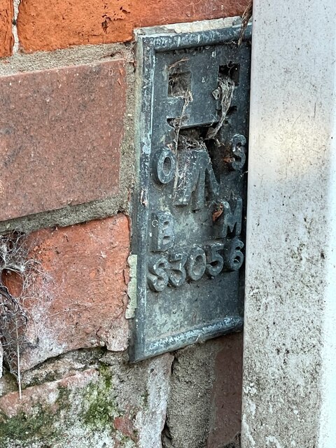
Image: © Brian Westlake Taken: 28 Oct 2021
This flush bracket benchmark is partly hidden by a drain pipe on the frontage of the Co-op shop. See https://www.geograph.org.uk/photo/7004330 for a wider view and https://www.bench-marks.org.uk/bm19337 for details.
Images are licensed for reuse under creativecommons.org/licenses/by-sa/2.0
Image Location


Leaflet Map data © OpenStreetMap
Latitude
53.366264
Longitude
0.093254