Another drainage pond
Introduction
The photograph on this page of Another drainage pond by Richard Law as part of the Geograph project.
The Geograph project started in 2005 with the aim of publishing, organising and preserving representative images for every square kilometre of Great Britain, Ireland and the Isle of Man.

There are currently over 7.5m images from over 14,400 individuals and you can help contribute to the project by visiting https://www.geograph.org.uk
Another drainage pond
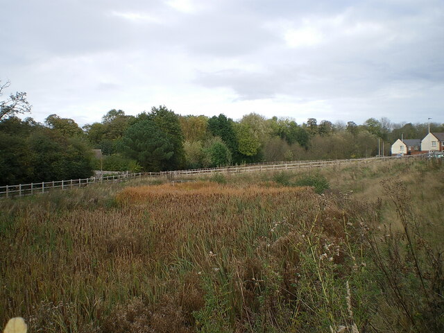
Image: © Richard Law Taken: 29 Oct 2021
A second attenuation pond area, built in addition to the one just to the NE Image, which stores runoff from new housing nearby.
Images are licensed for reuse under creativecommons.org/licenses/by-sa/2.0
Image Location
Latitude
52.663655
Longitude
-2.367679