Drainage pond for new housing
Introduction
The photograph on this page of Drainage pond for new housing by Richard Law as part of the Geograph project.
The Geograph project started in 2005 with the aim of publishing, organising and preserving representative images for every square kilometre of Great Britain, Ireland and the Isle of Man.

There are currently over 7.5m images from over 14,400 individuals and you can help contribute to the project by visiting https://www.geograph.org.uk
Drainage pond for new housing
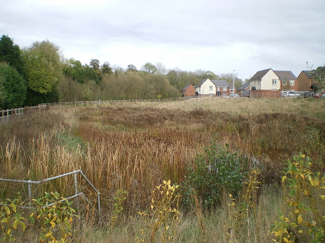
Image: © Richard Law Taken: 29 Oct 2021
It's barely visible as such in this photo as there's been little rain for some weeks, but the area of reeds and rushes in front here is a large attenuation pond, constructed to take surface drainage from the new housing estate to the south of this point.
Images are licensed for reuse under creativecommons.org/licenses/by-sa/2.0
Image Location
Latitude
52.664107
Longitude
-2.367092