Houses at the junction of Oakhill Drive and The Hawthornes, Broad Oak Brede
Introduction
The photograph on this page of Houses at the junction of Oakhill Drive and The Hawthornes, Broad Oak Brede by Patrick Roper as part of the Geograph project.
The Geograph project started in 2005 with the aim of publishing, organising and preserving representative images for every square kilometre of Great Britain, Ireland and the Isle of Man.

There are currently over 7.5m images from over 14,400 individuals and you can help contribute to the project by visiting https://www.geograph.org.uk
Houses at the junction of Oakhill Drive and The Hawthornes, Broad Oak Brede
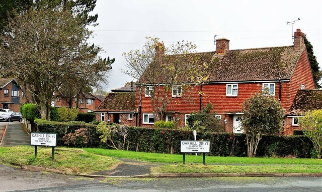
Image: © Patrick Roper Taken: 26 Oct 2021
Oakhill Drive continues in a long curve to the further end of The Hawthornes, hence the signs for the same place pointing in two different directions.
Images are licensed for reuse under creativecommons.org/licenses/by-sa/2.0
Image Location
Latitude
50.949979
Longitude
0.59778