Across Low Gelt Bridge
Introduction
The photograph on this page of Across Low Gelt Bridge by Gordon Hatton as part of the Geograph project.
The Geograph project started in 2005 with the aim of publishing, organising and preserving representative images for every square kilometre of Great Britain, Ireland and the Isle of Man.

There are currently over 7.5m images from over 14,400 individuals and you can help contribute to the project by visiting https://www.geograph.org.uk
Across Low Gelt Bridge
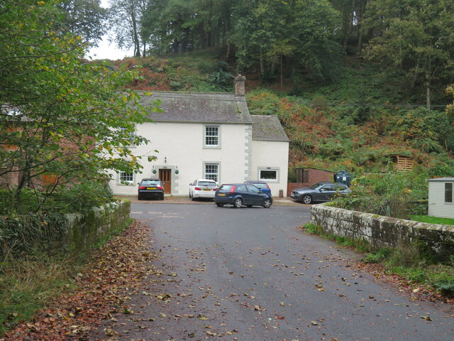
Image: © Gordon Hatton Taken: 18 Oct 2021
The bridge crosses the River Gelt at the lower end of the river's gorge-like valley. The house on the far side of the bridge is shown on the 1899 OS map as the Hare and Hounds inn.
Images are licensed for reuse under creativecommons.org/licenses/by-sa/2.0
Image Location
Latitude
54.924623
Longitude
-2.75126