Disused chapel in Kirkoswald
Introduction
The photograph on this page of Disused chapel in Kirkoswald by Gordon Hatton as part of the Geograph project.
The Geograph project started in 2005 with the aim of publishing, organising and preserving representative images for every square kilometre of Great Britain, Ireland and the Isle of Man.

There are currently over 7.5m images from over 14,400 individuals and you can help contribute to the project by visiting https://www.geograph.org.uk
Disused chapel in Kirkoswald
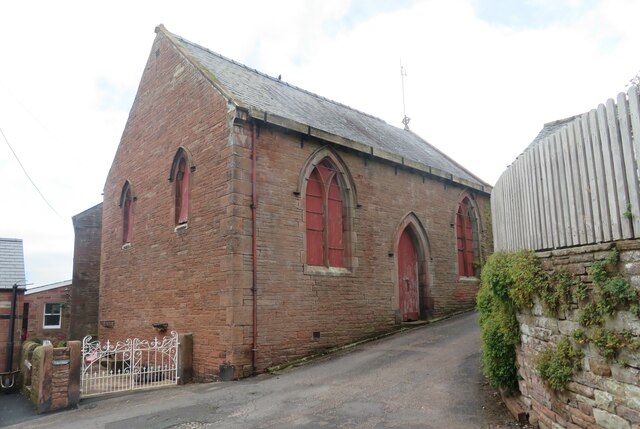
Image: © Gordon Hatton Taken: 17 Oct 2021
Old OS maps show this as a Congregational chapel, but it appears not to have been used for worship for many years.
Images are licensed for reuse under creativecommons.org/licenses/by-sa/2.0
Image Location
Latitude
54.764461
Longitude
-2.694205