Beesby DMV: aerial 2021 (2)
Introduction
The photograph on this page of Beesby DMV: aerial 2021 (2) by Chris as part of the Geograph project.
The Geograph project started in 2005 with the aim of publishing, organising and preserving representative images for every square kilometre of Great Britain, Ireland and the Isle of Man.

There are currently over 7.5m images from over 14,400 individuals and you can help contribute to the project by visiting https://www.geograph.org.uk
Beesby DMV: aerial 2021 (2)
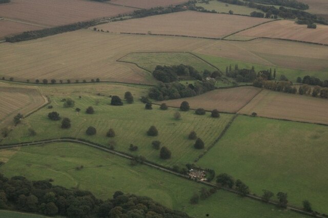
Image: © Chris Taken: 16 Oct 2021
Mentioned in "Beresford's Lost Villages": http://www.dmvhull.org/dmvDetail.cfm?dbkey=3727&county=true Otherwise seems to be undocumented.
Images are licensed for reuse under creativecommons.org/licenses/by-sa/2.0
Image Location


Leaflet Map data © OpenStreetMap
Latitude
53.449535
Longitude
-0.096022