Photo from King's Mill information board
Introduction
The photograph on this page of Photo from King's Mill information board by Antony Dixon as part of the Geograph project.
The Geograph project started in 2005 with the aim of publishing, organising and preserving representative images for every square kilometre of Great Britain, Ireland and the Isle of Man.

There are currently over 7.5m images from over 14,400 individuals and you can help contribute to the project by visiting https://www.geograph.org.uk
Photo from King's Mill information board
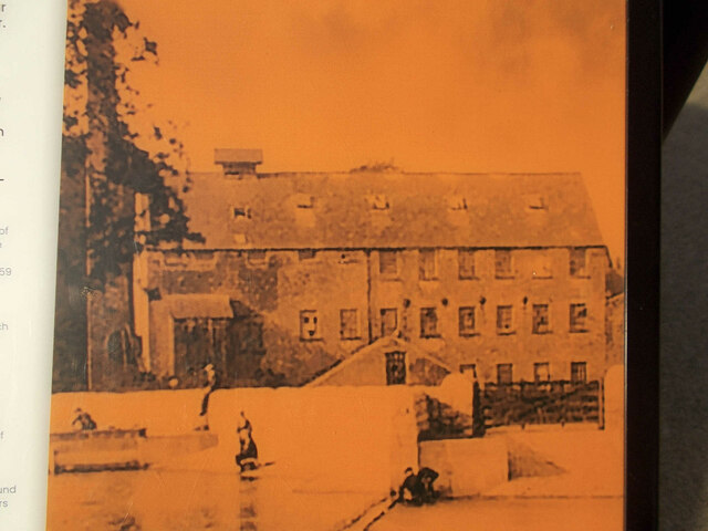
Image: © Antony Dixon Taken: 25 Oct 2021
Shows King's Mill as it appeared in about 1900
Images are licensed for reuse under creativecommons.org/licenses/by-sa/2.0
Image Location
Latitude
53.132656
Longitude
-1.224841