Running up Churchfields
Introduction
The photograph on this page of Running up Churchfields by Stephen McKay as part of the Geograph project.
The Geograph project started in 2005 with the aim of publishing, organising and preserving representative images for every square kilometre of Great Britain, Ireland and the Isle of Man.

There are currently over 7.5m images from over 14,400 individuals and you can help contribute to the project by visiting https://www.geograph.org.uk
Running up Churchfields
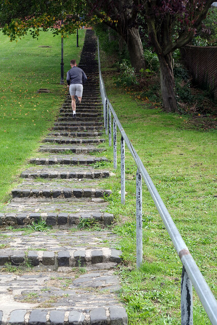
Image: © Stephen McKay Taken: 22 Oct 2021
There are just over 100 steps here so running up them requires a decent level of fitness.
Images are licensed for reuse under creativecommons.org/licenses/by-sa/2.0
Image Location
Latitude
51.384848
Longitude
0.498012