Canal west of Weeping Cross, Stafford
Introduction
The photograph on this page of Canal west of Weeping Cross, Stafford by Roger Kidd as part of the Geograph project.
The Geograph project started in 2005 with the aim of publishing, organising and preserving representative images for every square kilometre of Great Britain, Ireland and the Isle of Man.

There are currently over 7.5m images from over 14,400 individuals and you can help contribute to the project by visiting https://www.geograph.org.uk
Canal west of Weeping Cross, Stafford
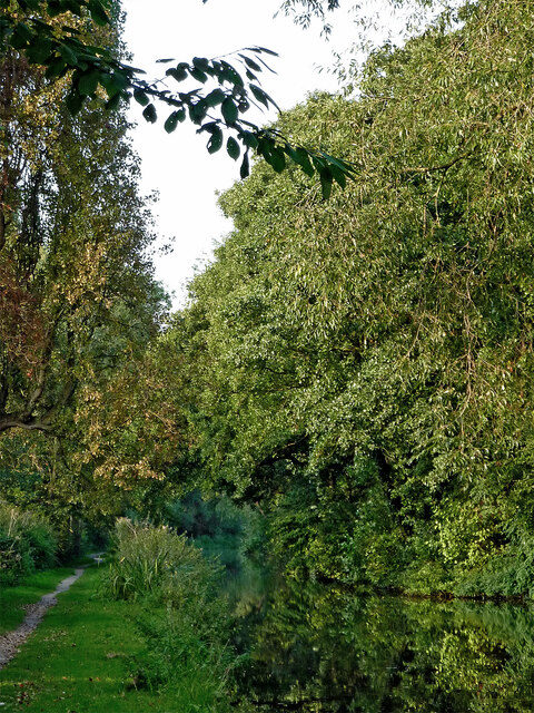
Image: © Roger Kidd Taken: 11 Sep 2014
This is the tree enshrouded Staffordshire and Worcestershire Canal north of Meadow Bridge, No 99. The residential area of Weeping Cross is off to the right.
Images are licensed for reuse under creativecommons.org/licenses/by-sa/2.0
Image Location
Latitude
52.79544
Longitude
-2.089385