Footpath southeast of Puncheston/Casmael
Introduction
The photograph on this page of Footpath southeast of Puncheston/Casmael by Natasha Ceridwen de Chroustchoff as part of the Geograph project.
The Geograph project started in 2005 with the aim of publishing, organising and preserving representative images for every square kilometre of Great Britain, Ireland and the Isle of Man.

There are currently over 7.5m images from over 14,400 individuals and you can help contribute to the project by visiting https://www.geograph.org.uk
Footpath southeast of Puncheston/Casmael
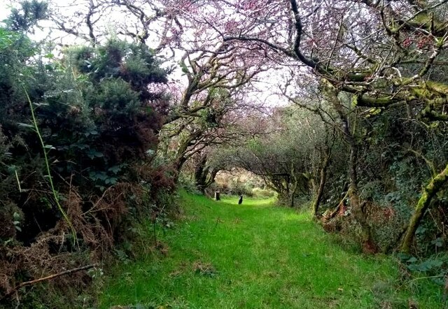
Image: © Natasha Ceridwen de Chroustchoff Taken: 22 Oct 2021
A straight, slightly raised PROW, with a hard surface beneath the grass, between overgrown hedges leads downhill towards a ford and bridge across the Afon Anghof on the edge of the village. The stone set on the edge of the lane's end (left of the dog) appears to be some sort of marker, possibly connected with the long-dismantled railway line that ran NE-SW close to this point. See http://www.disused-stations.org.uk/p/puncheston/index.shtml
Images are licensed for reuse under creativecommons.org/licenses/by-sa/2.0
Image Location
Latitude
51.930457
Longitude
-4.894128