Lane to St Cleher
Introduction
The photograph on this page of Lane to St Cleher by Derek Harper as part of the Geograph project.
The Geograph project started in 2005 with the aim of publishing, organising and preserving representative images for every square kilometre of Great Britain, Ireland and the Isle of Man.

There are currently over 7.5m images from over 14,400 individuals and you can help contribute to the project by visiting https://www.geograph.org.uk
Lane to St Cleher
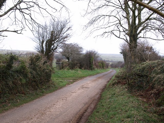
Image: © Derek Harper Taken: 21 Feb 2008
The lane, initially lined with trees, drops away from a crossroads towards the Inny valley.
Images are licensed for reuse under creativecommons.org/licenses/by-sa/2.0
Image Location


Leaflet Map data © OpenStreetMap
Latitude
50.627689
Longitude
-4.561623