Travelling by Mangotsfield Station
Introduction
The photograph on this page of Travelling by Mangotsfield Station by Neil Owen as part of the Geograph project.
The Geograph project started in 2005 with the aim of publishing, organising and preserving representative images for every square kilometre of Great Britain, Ireland and the Isle of Man.

There are currently over 7.5m images from over 14,400 individuals and you can help contribute to the project by visiting https://www.geograph.org.uk
Travelling by Mangotsfield Station
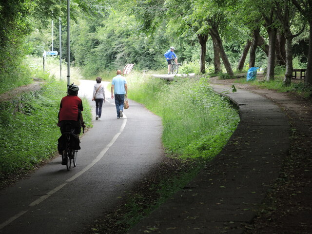
Image: © Neil Owen Taken: 24 Jun 2021
The Midland Railway built lines in this part of Bristol from 1845, based on earlier horse-drawn coal trams from 1828. The station became an important junction between two lines to Bath and the Midlands, but never really achieved great success. It finally closed in 1966 under the Beeching axe. Today the trackbed and platforms are used by less polluting and slower traffic.
Images are licensed for reuse under creativecommons.org/licenses/by-sa/2.0
Image Location
Latitude
51.475393
Longitude
-2.483451