Rodway Hill
Introduction
The photograph on this page of Rodway Hill by Neil Owen as part of the Geograph project.
The Geograph project started in 2005 with the aim of publishing, organising and preserving representative images for every square kilometre of Great Britain, Ireland and the Isle of Man.

There are currently over 7.5m images from over 14,400 individuals and you can help contribute to the project by visiting https://www.geograph.org.uk
Rodway Hill
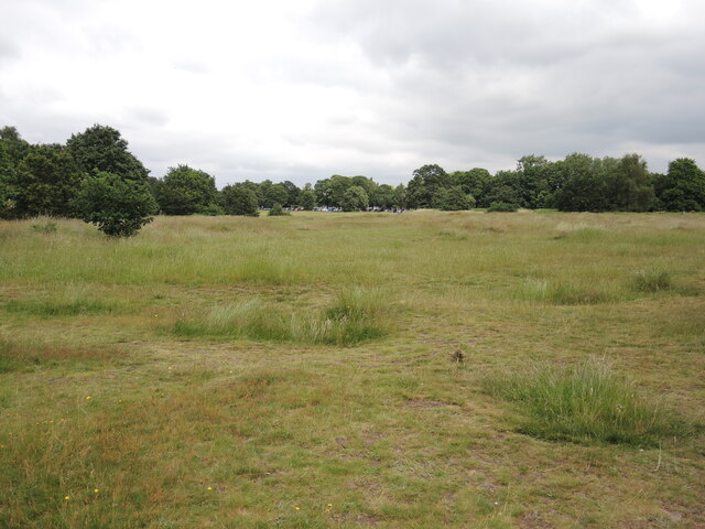
Image: © Neil Owen Taken: 24 Jun 2021
An open patch of land which is open to all. In its day it was a place of some quarrying to the west and then became a golf course in the early twentieth century.
Images are licensed for reuse under creativecommons.org/licenses/by-sa/2.0
Image Location
Latitude
51.47826
Longitude
-2.485929